Virginia Tech, Project Wing, and partners team up with NASA on unmanned traffic management
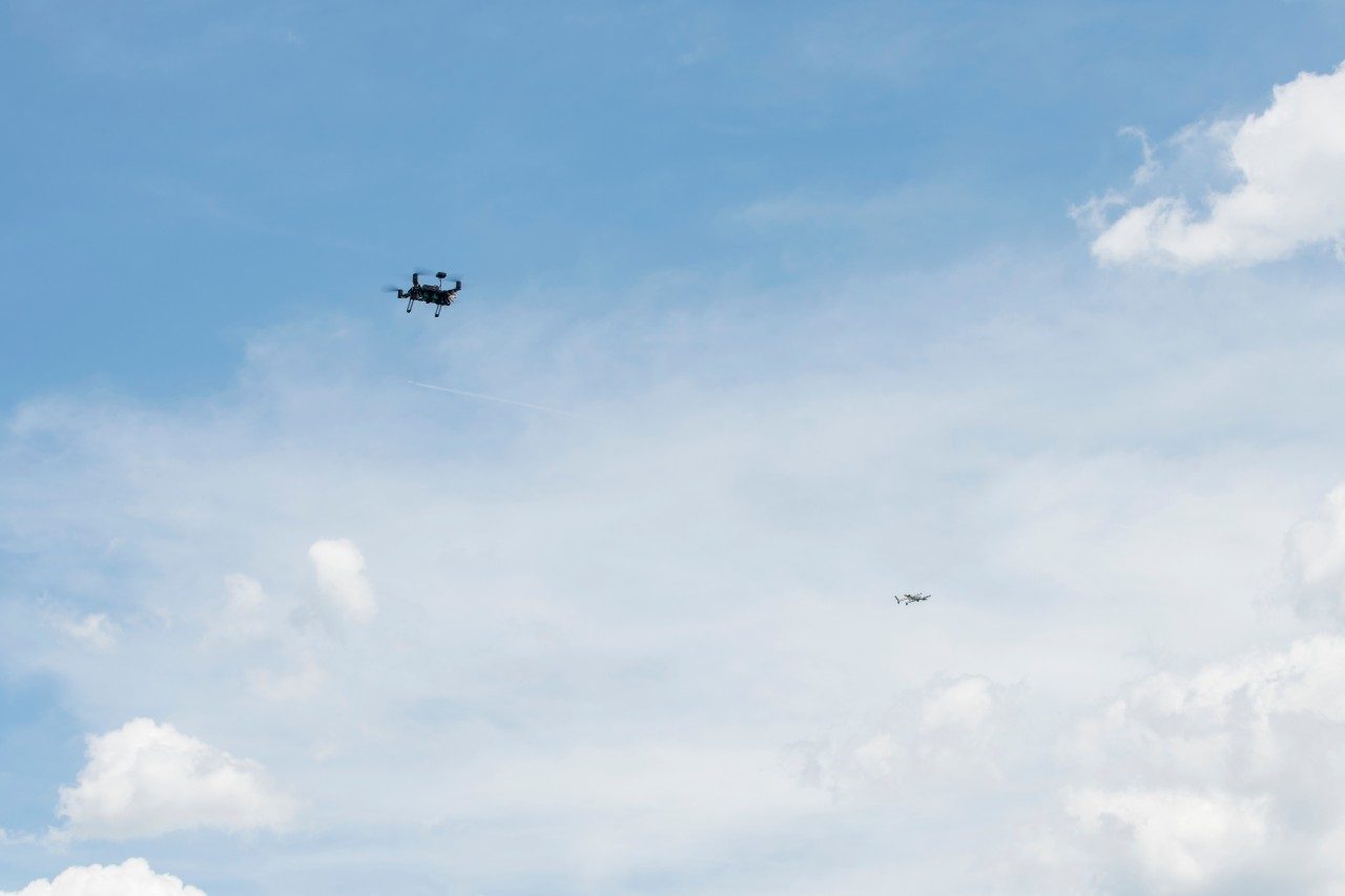
Two unmanned aircraft fly past each other

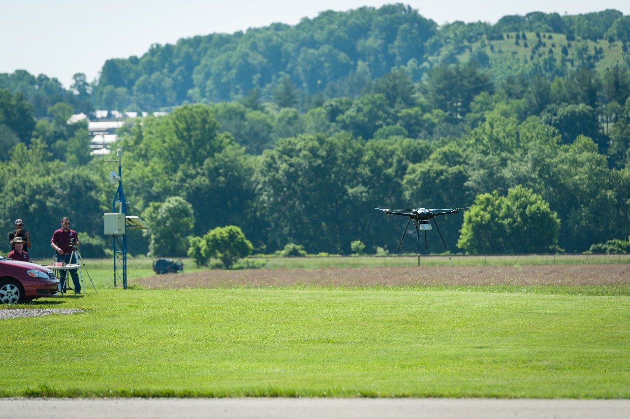
Unmanned aircraft operations at Virginia Tech this week field-tested technology designed to allow multiple aircraft to safely share the same airspace, paving the way for broader integration of these vehicles.
The flights were part of a national campaign to test an unmanned traffic-management research platform developed by NASA.
Widespread commercial use of unmanned aircraft systems, or UAS, will entail a variety of aircraft controlled by different operators conducting unrelated missions in the same airspace. A traffic management system, which could evaluate submitted flight plans, monitor aircraft in flight, and alert users to any changes or potentially hazardous conditions, will allow these varied operations to coexist smoothly, especially in the relatively limited low-altitude airspace targeted by most commercial operators.
“Previously, there was very little air traffic below 500 feet; now we have the potential for millions of aircraft flying in that airspace,” said Mark Blanks, the director of the Virginia Tech Mid-Atlantic Aviation Partnership, which operates the university’s Federal Aviation Administration-designated UAS test site. “Being able to handle that kind of volume safely and efficiently will determine whether a lot of the UAS applications in development will be commercially viable over the long term.”
Unmanned traffic management will be particularly critical for UAS operations in urban areas, where the airspace is expected to be more crowded; developing procedures to conduct flights safely in those environments is one of the primary research areas at the Virginia Tech test site.
The test flights in Blacksburg were designed to mimic what operators might encounter if widespread commercial UAS flights beyond line of sight become commonplace. Multiple aircraft carried out a variety of simulated missions simultaneously, using different software interfaces to communicate with NASA’s central cloud-based platform and respond to changes in the airspace.
Team debrief after NASA Unmanned Traffic Management campaign

Similar operations took place at five other FAA-designated test sites around the country.
The tests built on research flights conducted last year. In this round of testing, greater technical and logistical challenges brought the operation closer to a real-world scenario. Industry also played a larger role; a different set of commercial partners worked with each test site to provide aircraft, software, and other support.
“Using the power of collaborative innovation to work alongside many committed government, industry and academic partners, NASA is fostering commercial sector investment in UAS technology, enabling the agency to lead research and development using a cloud-based Unmanned Traffic Management (UTM) research platform,” said Arwa Aweiss, NASA’s UTM National Campaign coordinator.
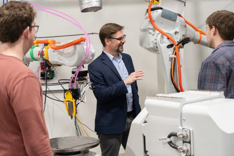
Virginia Tech’s commercial strategic partners include ANRA Technologies; Aviation Systems Engineering Company, Inc.; Fortem Technologies; Intel Corporation; and Project Wing, a part of Alphabet’s long-term innovation lab X.
To evaluate the ability of third-party traffic-management software to interface with NASA’s central research platform, two different commercial software platforms were tested — one developed by ANRA Technologies, and the other developed by Project Wing.
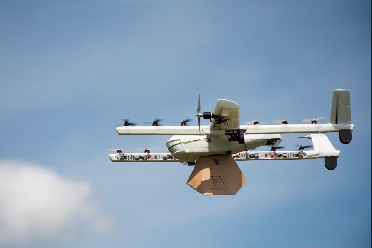
Last fall, Project Wing conducted the first public UAS delivery tests on U.S. soil at Virginia Tech, delivering hundreds of meals to staff and students via unmanned aircraft.
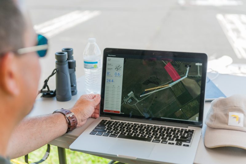
During their tests over the past week, Project Wing’s UTM platform supported the flights of as many as five unmanned aircraft flying simultaneously. Some aircraft flew beyond their operator’s visual line of sight, or BVLOS, while others flew directly over other aircraft in “altitude-stratified” flight paths.
“In collaboration with the Virginia Tech Mid-Atlantic Aviation Partnership, NASA, and our industry partners, Project Wing demonstrated that our unmanned traffic-management platform can manage the complex flight paths of multiple UAS at the same time,” said James Ryan Burgess, the co-lead of Project Wing. “We believe this is an important step that paves the way for a future where many operators can fly safely together.”
Project Wing traffic management software
The team also evaluated effectiveness of separating flight paths by time, in addition to altitude.
“The idea is that two aircraft are communicating their position and reserving airspaces that appear and disappear as they move through their flight paths,” said John Coggin, the chief engineer for the Virginia Tech Mid-Atlantic Aviation Partnership, who managed the test. “It’s like sitting at an intersection waiting to cross until the car in front of you goes.”
This design tested the ability of the traffic-management platform to coordinate these flights effectively. The operation also incorporated other key components of traffic management, including data integration, real-time response to unexpected changes in the airspace, and technology to help aircraft detect and avoid obstacles.
For example, when an Intel unmanned aircraft conducting a simulated public-safety search flew through the test area, the other vehicles adjusted their flight paths and schedules to give the public-safety mission priority.
Intel conducted flights using the Intel Aero Ready to Fly Drone for commercial developers. The mission plan and flight telemetry were communicated by the drone to the traffic management software in real time via LTE communications, laying the groundwork for autonomous beyond-visual-line-of-sight operations.
Another unmanned aircraft carried a compact radar developed by Fortem Technologies. The radar monitored the positions of the other vehicles involved in the operation as well as a manned aircraft flown by Liberty University's School of Aeronautics, sending the data to NASA’s research platform via ANRA’s unmanned traffic-management platform.
Airborne radar is a potential solution to the need for unmanned aircraft to sense and avoid obstacles during flight, including other aircraft that may not be communicating with a traffic-management system.
ANRA provided networked radios that enabled some of the flights traveling beyond the operator’s visual line of sight. These flights were handled by ANRA’s UTM platform.
Designing and conducting a set of test flights that combines a collection of interconnected research objectives is an ideal task for the federal test sites, Blanks said.
ANRA has also collaborated with NASA and the FAA to demonstrate how multiple software providers can act as intermediaries between commercial UAS operators and the FAA, giving the government agency the data it needs to regulate the airspace and operators the information that will allow them to conduct their flights safely.
“Creating a realistic, rigorous test environment for unmanned traffic management requires research experience, extensive safety and test planning, appropriate flight ranges, and unique operational approvals,” Blanks said. “There are a lot of moving pieces. The test site is set up specifically to handle those complex components and bring them together smoothly.”
Aviation Systems Engineering Corporation Inc. provided test planning and test-management support.
The Virginia Tech Mid-Atlantic Aviation Partnership is based at the Institute for Critical Technology and Applied Science.