Center's new leaders continue mission as resource for science-based decision making
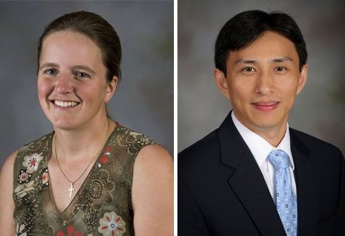
BLACKSBURG — Valerie Thomas, associate professor of forest remote sensing, and Yang Shao, assistant professor of geography, were named the new co-directors of the Center for Environmental Applications of Remote Sensing in Virginia Tech’s College of Natural Resources and Environment.
The center was started 19 years ago by Randolph Wynne, professor of forest remote sensing, and James Campbell, professor of geography. “We needed an interdisciplinary approach to address grand challenges in Earth and environmental science,” Wynne said.
“The center supported, encouraged, formalized, and achieved recognition for things that were already going on,” Campbell explained. “There was a NASA effort to launch research programs that crossed disciplines.”
It was named a NASA center of excellence in applications of remote sensing to regional and global integrated environmental assessments. “We were able to purchase hardware, create a laboratory, and improve the software for remote sensing and analysis — making it quicker and better,” Campbell said. “We were already collaborating on instruction, but the center helped bring students together. We connected with other departments and planted seeds for more robust research activity.”
After almost two decades at the helm, Wynne and Campbell welcomed the transition to new leadership for the center.
“Valerie Thomas and Yang Shao are coming into a program that is not only vibrant and strong, but was one of the early leading efforts on the campus to bridge disciplines in an effort to focus on Earth and environmental science,” said Paul Winistorfer, dean of the College of Natural Resources and Environment.
“We have real opportunity, but also social responsibility, to bring tools, systems, disciplines, and faculty together to better understand environmental challenges if we are to promote innovative solutions for a sustainable environmental future,” he continued.
Thomas received her bachelor’s degree in environmental engineering from the University of Guelph, Ontario, Canada, and her master’s and doctoral degrees in Earth system science from Queen’s University in Ontario.
She was hired in 2007 by Virginia Tech’s Department of Forest Resources and Environmental Conservation and supports the interdisciplinary geospatial and environmental analysis doctoral program. She has been an active leader of Center for Environmental Applications of Remote Sensing as well as the university-wide Interdisciplinary Graduate Education Program in remote sensing and the college’s environmental informatics program.
The center's reputation and resources were part of the reason she came to Virginia Tech, she said. “Also, Randy’s research is closely aligned with mine, including forestry lidar applications. Jim’s textbook is used in remote sensing courses all over the world. And when I interviewed, it was clear to me that the college’s faculty are very collaborative. It all combined to make this an exciting place to work.”
Shao received his bachelor’s degree in geography from Nanjing University, Nanjing, China, and completed his doctorate at the University of North Carolina-Chapel Hill in 2007. He served as a postdoc at the U.S. EPA before joining Virginia Tech’s Department of Geographyin 2011, and also supports the geospatial and environmental analysis doctoral program.
Thomas and Shao will continue the center’s strong research, education, and outreach programs, providing sound science for decision-making.
Shao would like to increase collaboration inside and outside the college. “The Interdisciplinary Graduate Education Program can be a basis for expanding collaborations, such as with electrical and computer engineering, biological systems engineering, statistics, and Advanced Research Computing at Virginia Tech,” he said.
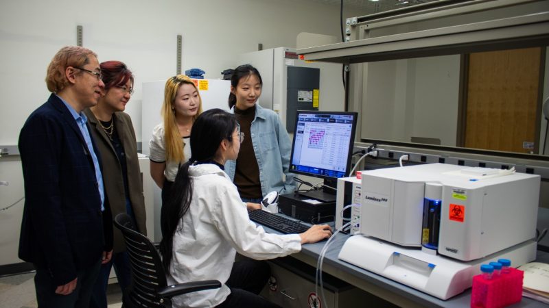
Thomas looks forward to taking advantage of the advent of big data. She and Shao are excited by a major upgrade in computers at the center, which will allow faculty and students to handle the huge amount of information now being provided.
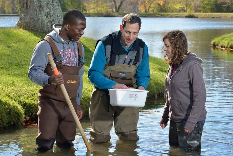
“Landsat satellite images and data are now free, exploding the scope of the science we can do and the kinds of questions we can ask to gain insight into ecosystem function and disturbance,” Thomas said. “We are bringing in more sensors and data and developing computational approaches to integrate remote sensing with field data. It is not a major departure, but it is where science and technology are going. We have added, through collaboration with the Virginia Geospatial Extension Program, a small unmanned aerial vehicle to enhance field data collection.”
Thomas’ own research focus has been using cutting-edge remote sensing to assess forest physiology — what controls forest productivity and how forests are responding to such pressures as increased atmospheric nitrogen. The technology includes laser scanning to capture the 3-D structure of the forest and hyperspectral sensors to capture reflectance across many visible and nonvisible wavelengths.
Shao’s research uses remote sensing and geographic information systems to observe land-use and land-cover change, conduct watershed assessment and modeling, and enhance agricultural informatics.
Nineteen years after the center’s establishment, core environmental challenges remain the same. “We were worried about the climate, and still are. And the environmental and natural resource bases continue to shrink,” Wynne said.
“A plus is the ubiquity of remote sensing information and public access, such as Google Earth,” he added. “New satellite systems and new ways of collecting data mean better information for doing science vital for meeting today’s grand challenges. More sophisticated technology and data analytics have resulted in improved understanding of individual ecosystems and the Earth system as a whole.”
Wynne and Campbell continue as part of the center. Wynne also co-directs the Interdisciplinary Graduate Education Program in remote sensing with Wayne Scales, professor of electrical and computer engineering in the College of Engineering.