New doctorate program in geospatial and environmental analysis
Beginning this fall, Virginia Tech will offer a one-of-a-kind Ph.D. program in geospatial and environmental analysis.
“This interdisciplinary doctoral program, based in the College of Natural Resources, is designed to meet one of the great challenges of the twenty-first century -– the sustainable management and conservation of natural resources,” explained geography department head Larry Grossman.
Geospatial analysis involves the use of Geographic Information Systems (GIS), the Global Positioning System (GPS), remote sensing, and imagery analysis. “It provides a valuable framework to explore a broad range of contemporary natural resource and environmental issues related to forestry, fisheries, wildlife, human health, and population growth,” Grossman pointed out. “One of the benefits of geospatial research is that it is interdisciplinary in nature, enabling students to incorporate a wide range of perspectives in their research.”
According to a recent report by the U.S. Department of Labor, geospatial technology is one of the three most important emerging fields for the U.S. economy. “The new geospatial and environmental analysis Ph.D. program at Virginia Tech will be fulfilling a critical need in Virginia and the nation,” Grossman said.
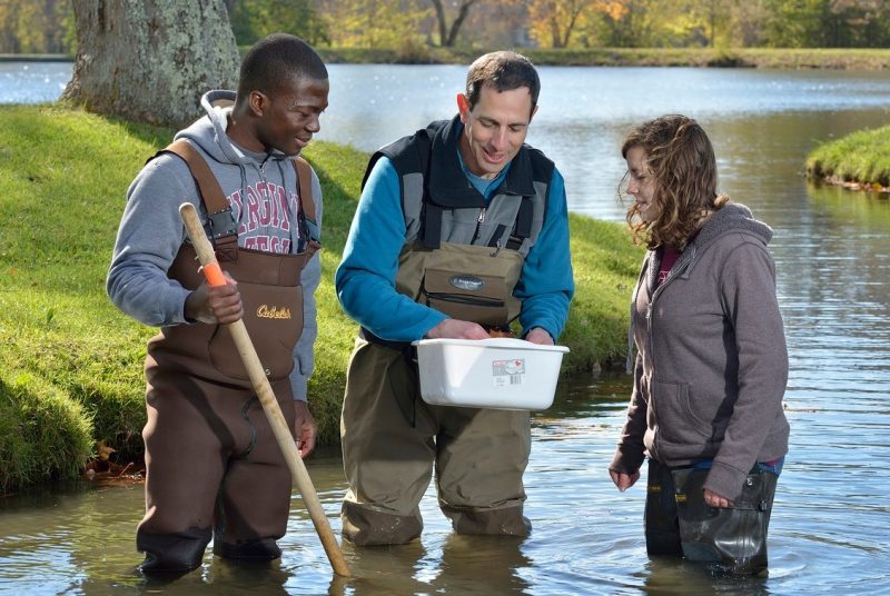
The College of Natural Resources at Virginia Tech consistently ranks among the top five programs of its kind in the nation. Faculty members stress both the technical and human elements of natural resources and instill in students a sense of stewardship and land-use ethics. Areas of studies include environmental resource management, fisheries and wildlife sciences, forestry, geospatial and environmental analysis, natural resource recreation, urban forestry, wood science and forest products, geography, and international development.